检测到您正在使用中文浏览器访问
您当前访问的是英文版网站。
为获得更好的本地化体验,建议您切换到中文版。
Business Challenges

Huge Safety Hazards
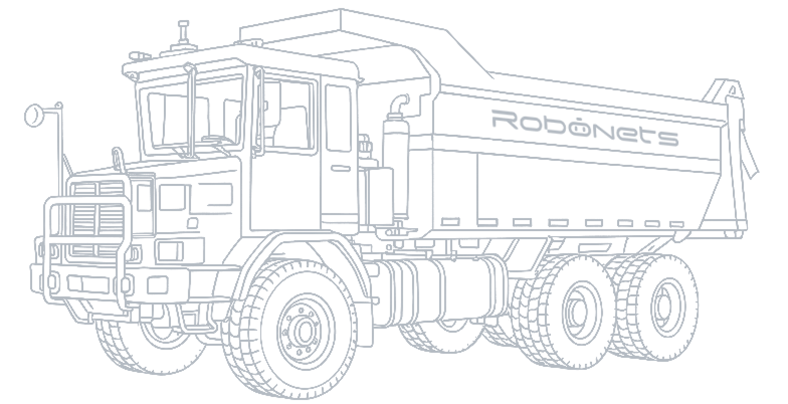
Mining trucks are large with many blind spots, posing collision or crushing risks.
High personnel operation intensity, lack of rescue facilities, and frequent safety accidents.

Labor Shortage
Located in remote areas, with much dust, loud noise, and harsh environment.
Aging of skilled workers, frequent personnel turnover, and interruption of technical inheritance.

High Operating Costs
High Operating Costs
Non-standard operation leads to high fuel consumption, high loss, and increased operating expenses.

Efficiency Bottleneck
Multiple shifts per day, frequent shift handovers reduce working hours.
Lack of scheduling in manual driving, queuing and waiting affect comprehensive efficiency.
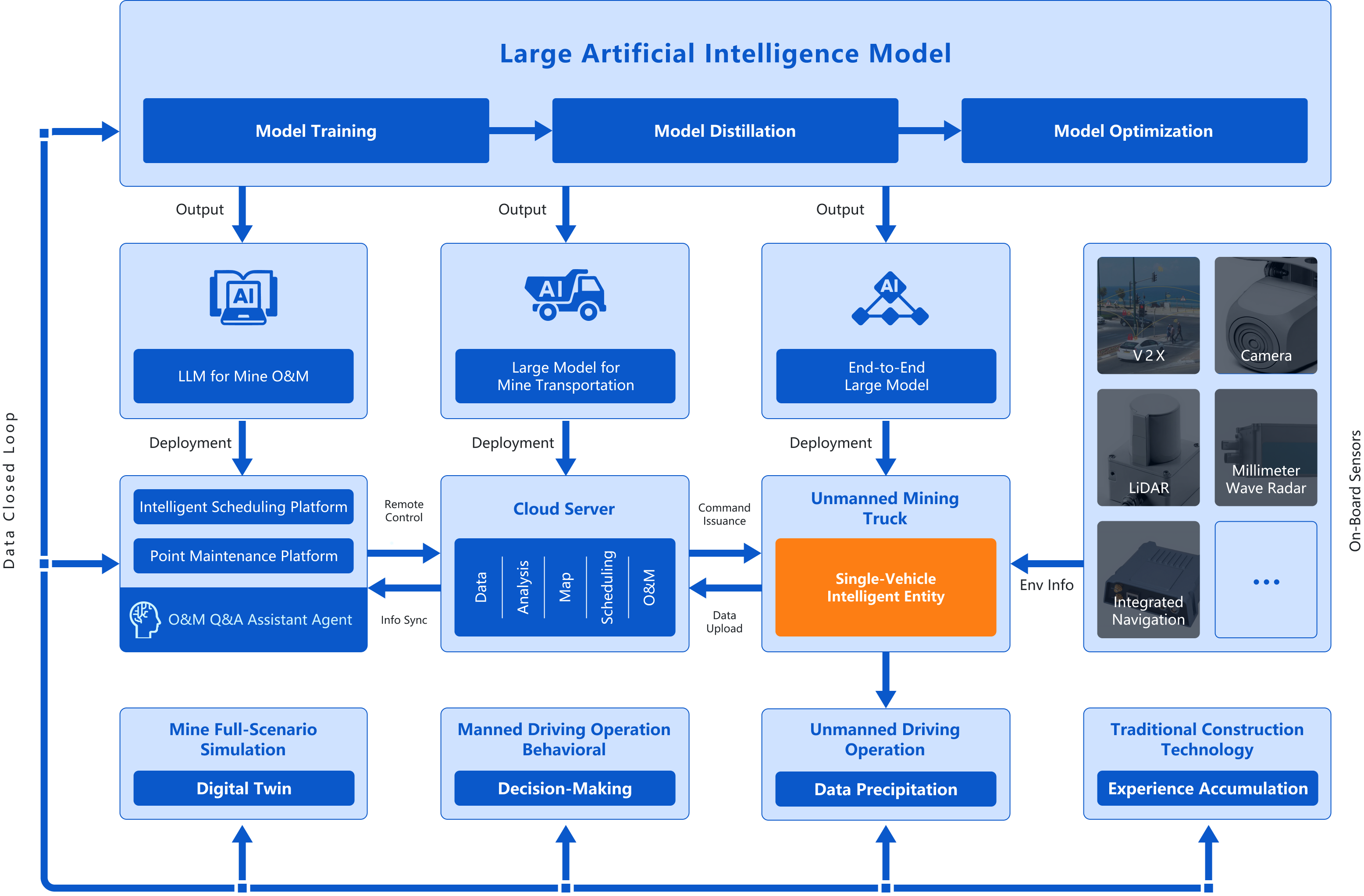
Solution Architecture
Advantages of the plan
More Efficient
24-hour uninterrupted operation
Efficiency can be as high as 95% of manual work.
More Economical
Reduce labor and fuel expenses.
Comprehensively reduce transportation costs by more than 30%.
Safer
Detects and avoids general obstacles from over 30 meters away Detects objects as small as 10 cm in height
Clearer
Crowdsourced HD map updates
Real-time high-precision 3D reconstruction every 10 seconds
More Reliable
Operable when visibility is less than 30 meters
Unaffected by extreme weather like sandstorms, rain, and snow.
Smarter
Industry-leading vehicle-side intelligence
Up to 4–5 hours of offline autonomous operation
More Accurate
Turning radius less than 13 meters
Braking distance reduced by 30%.
Lighter
72-hour rapid solution deployment
No need to build additional roadside units.
Vehicle grade sensor configuration